

Scan to BIM
1.Capturing the Data(Provided by Clients):
1. Professionals use laser scanners (which can be attached to drones, tripods, or handheld devices) to record points in space corresponding to the geometry of the site.
2. These points include walls, doors, ground planes, apertures, and more.
3. The resulting point cloud contains immense amounts of data,
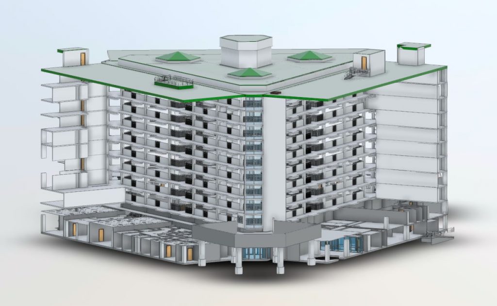
2.Creating and Using the Model:
1. Millions of points define every surface of the building or site.
2. The point cloud requires interpretation to become a usable model.
3. Software like Autodesk ReCap Prointerprets point-cloud data and makes it usable in Autodesk Revit for BIM modeling.
In summary,Scan to BIM bridges the gap between reality capture and actionable data models, enhancing accuracy and efficiency in construction and design projects!
If you need assistance with SCAN to BIM, consider us as your preferred partner.
Contact Now18
Project Completed
6
Qualified Team
90%
Client Satisfaction
5+